Create native habitats. Find the Oregon native plants suited to your yard.

We build a detailed model of your yard, from monthly sun and shade to soil and water flow, and compare each area to tens of thousands of places where native plants grow wild.
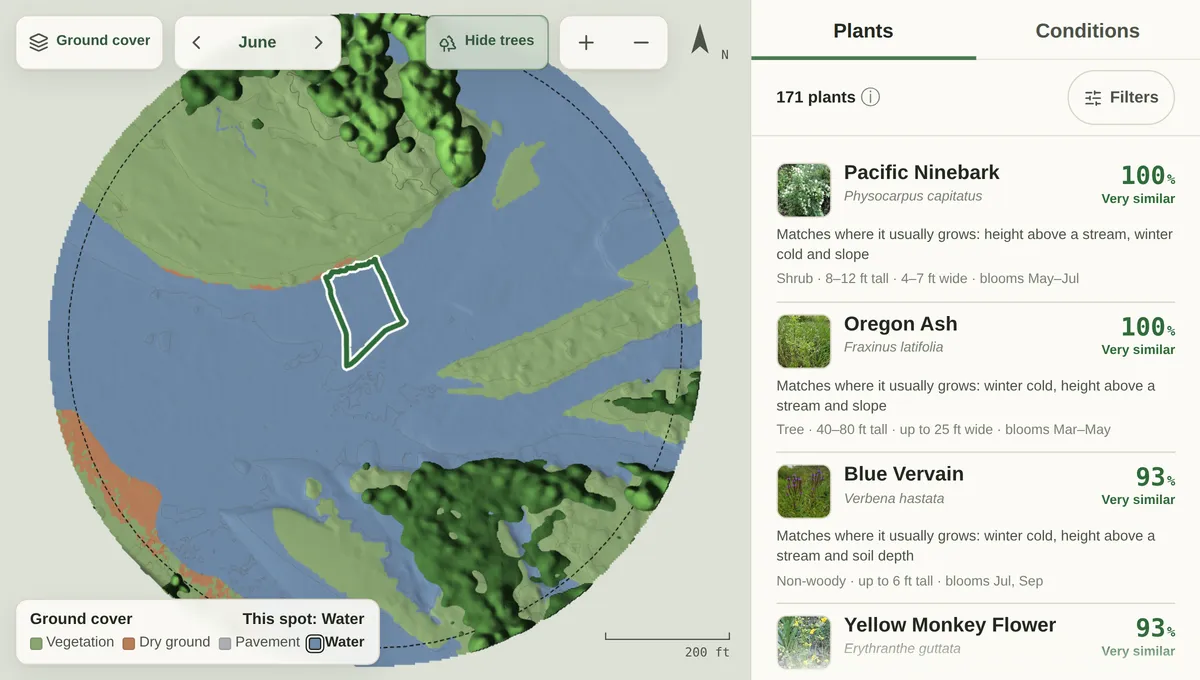
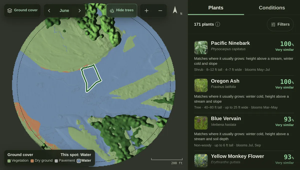
A planner map of a yard in Eugene, with the native plants for one spot

Plants for each area of your yard

For each area of your yard, a ranked list of Oregon native plants, with how closely it resembles the places each one grows wild. For example:
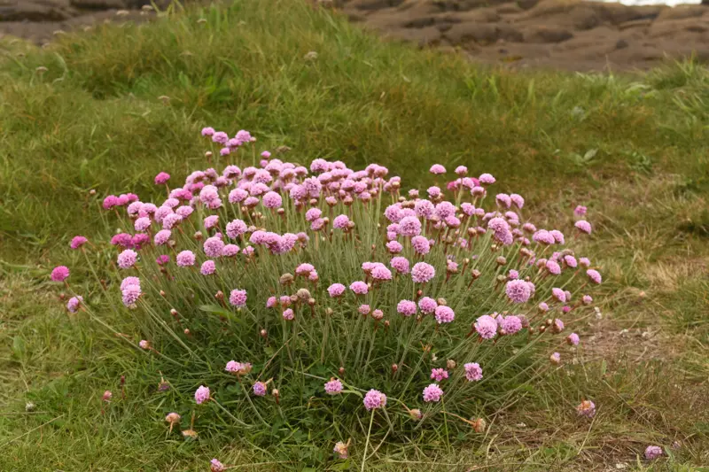
  • A low cushion of sea thrift with round pink flower heads, in grass

    Sea thrift

    Armeria maritima

    Very similar to the places it grows wild

    Photo: Gabriel Campbell-Martinez, CC BY
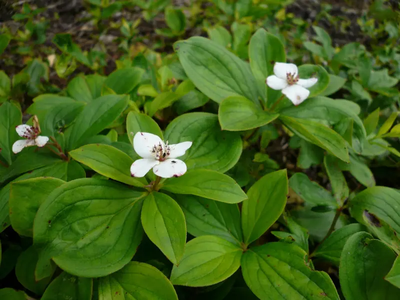
  • Bunchberry's white four-petalled flowers over a carpet of green leaves

    Bunchberry

    Cornus canadensis

    Very similar to the places it grows wild

    Photo: Scott Harris, CC BY
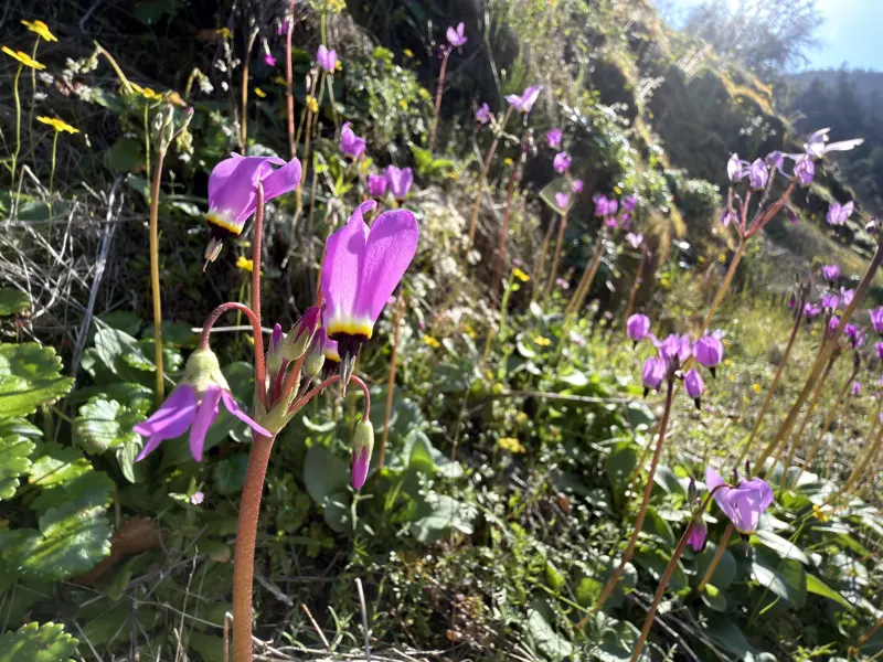
  • Magenta shooting star flowers with swept-back petals on a grassy slope

    Broadleaf shooting star

    Dodecatheon hendersonii

    Very similar to the places it grows wild

    Photo: Dee Shea Himes, CC BY

How it works

We simulate the growing conditions in every part of your yard from public data, then score each area with models trained on the places Oregon's native plants grow wild.
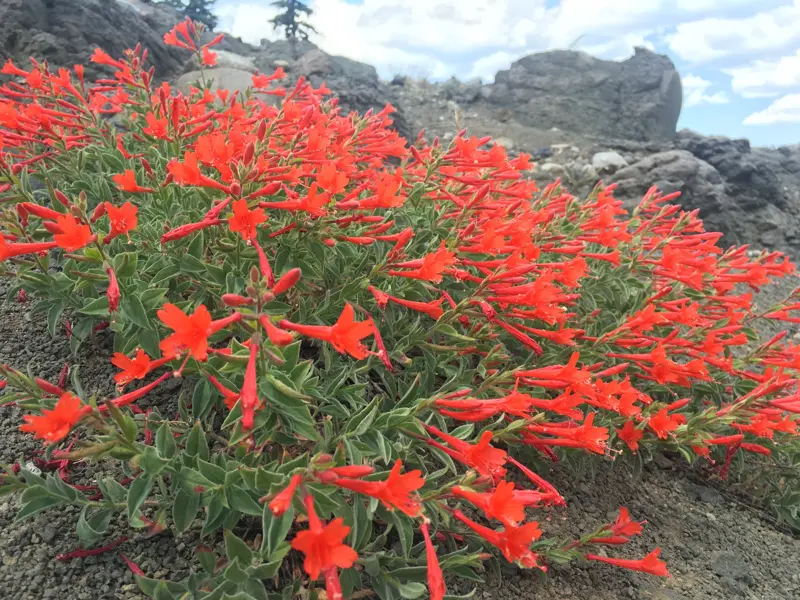
A mat of scarlet California fuchsia flowers on rocks
Photo: Leah Gardner, CC0
  1. Enter your address

    The planner covers Oregon for now.

  2. We map your yard

    Sun and shade for every month, soil, water flow and winter cold, for each area of your yard.

  3. We find the plants

    For each area, we find the Oregon native plants that naturally grow in conditions like it.

  4. You explore

    Tap any spot on the map to see its plants, and why they fit.

Why we built it

Most advice about what to plant is written for a whole region. A yard is not a region: the shady corner by the fence and the sunny strip by the driveway are different places for a plant.

The planner looks at each area on its own, so the plants it suggests fit where they would actually go.
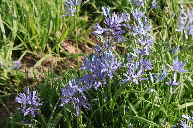
Blue-violet common camas flowers rising from grass
Photo: Millie Basden, CC BY

What we model

We read light, heat, dryness and frost at the height each plant actually grows to, not just at ground level.

Sunlight
How much sunlight reaches each area in every month, direct and scattered, after trees (bare or in leaf), buildings and hills have cast their shade.
Soil
What the soil is made of, how deep it goes and how fast water drains through it.
Water
How wet the soil stays each month, after rain, groundwater, thirsty trees, water running downhill and seepage from nearby streams.
Winter cold
How cold the winters get, and how many nights a plant's leaves would freeze.
The lie of the land
How steep the ground is, which way it faces, and how close it is to the nearest stream and how high above it.
Summer heat
How hot a plant's leaves get on the hottest summer days, given shade, wind, nearby paving and the shelter of trees.
Air dryness
How strongly the summer air pulls water from leaves, month by month.

The public data we use

  • Daymet: daily weather records, for sun, rain and temperature.
  • SSURGO: the USDA's soil survey, for what the soil is and how it holds water.
  • USGS and DOGAMI lidar: laser elevation surveys from the US Geological Survey and Oregon's geology agency, for the shape of the ground and the height of buildings.
  • NAIP: aerial photographs, for tree heights and what covers the ground.
  • Microsoft Building Footprints: the outline of every building.
  • NLCD: the national land-cover map, for which trees are evergreen.
  • NOAA C-CAP: a land-cover map, for paving and open water.
  • Oregon Department of Forestry stream map: where streams run.
  • gridMET: daily weather records, for wind.
  • GBIF and iNaturalist: records of where each plant has been found growing wild.
  • USDA PLANTS and the National Wetland Plant List: which plants are native, and which grow in wet ground.

How we choose the plants

We run the same simulation at the places native plants have been recorded growing wild, tens of thousands in all, reading the same conditions there: sunlight, soil, water, summer heat, air dryness, winter cold, streams and the lie of the land.

From those records we train a species distribution model for each of hundreds of Oregon natives: a model that learns which conditions set a plant's wild places apart from everywhere else in the records. Each model scores each area of your yard, and the plants are ranked by that score.

A high score means the plant naturally grows in conditions like yours, which makes it a strong choice for that spot. Plants further down the list can do well too, with a little watering, weeding or soil care.
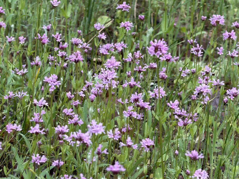
A meadow full of small pink sea blush flowers
Photo: Dee Shea Himes, CC BY

What we can't know

  • What is under the surface: buried rubble, fill, or an old foundation.
  • Anything newer than the public maps: a new fence, a felled tree, a fresh patio.
  • How you water, mulch and care for your garden.
  • Pockets smaller than our map can see, like a warm wall or a dripping gutter.

Pricing

Pricing is coming soon. Here is what you'll get for your yard.

  • A map of your yard's sunlight, soil, water, heat and cold, month by month.
  • For any spot you tap, a ranked list of the Oregon native plants suited to it.
  • Why each plant fits, in plain words.
  • A photo of each plant, and how tall and wide it grows.
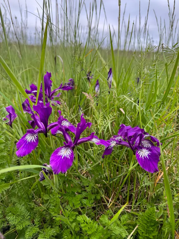
Deep purple Oregon iris flowers in tall grass
Photo: Parker James Lloyd, CC BY

Questions

  • Where does the planner work?

    In Oregon, for now.

  • Will these plants grow in my yard?

    The top plants naturally grow in conditions like your yard's, so they're the strongest choices. Many others can do well too, with a little watering, weeding or soil care.

  • How do I get started?

    The planner is invitation-only while we get started. Open the link in your invitation, or sign in with the key it gave you.

About Green Tapestry

We help Oregon gardeners create native habitats, with plants suited to each part of their yard.

Green Tapestry is a small team in Oregon. We started it because choosing native plants meant guessing which of a long regional list would suit a particular corner of a particular garden.

So we built the Native Plant Planner. It simulates the sunlight, water, heat and cold in every part of your yard. We ran the same simulation at tens of thousands of places where native plants grow wild, and trained a species distribution model for each of hundreds of Oregon natives: a model that learns the conditions a plant grows in.
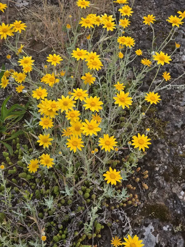
Bright yellow Oregon sunshine daisies over silver-grey leaves
Photo: Najah Bowlby, CC0

Contact us

Questions about the planner, or about what it shows for your yard? Write to us and a person will answer.
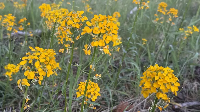
Clusters of bright yellow-orange Douglas wallflower blooms in a grassy meadow
Photo: rappman, CC BY